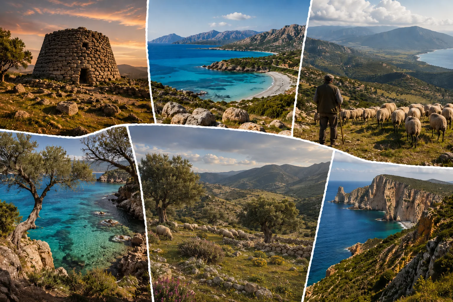
That is where the title begins to make sense. Sardinia can feel like an island within an island because the distances created by the Tyrrhenian Sea are joined by those produced by its internal geography. The sea separates the island from mainland Italy and other nearby lands; mountains, broken plains, massifs and basins have made contact between the coast, inland towns and larger cities less immediate.
None of this justifies the old cliché of a closed, static island outside history. Sardinia has known Phoenician routes, Carthaginian settlements, Roman rule, Byzantine ties, rivalry between Pisa and Genoa, Aragonese power, and continuous connections with Corsica, the Iberian Peninsula, North Africa and mainland Italy. Its position in the centre of the western Mediterranean made it attractive to merchants, armies and outside governments.[1]
What sets the island apart is the way two movements coexist. Outwards, the sea opens routes and possibilities. Inwards, mobility depends on roads, seasons, available transport and journey times. A mountain community may lie only a short distance from the coast as the crow flies, yet have far closer daily ties with its own town, a nearby market or another inland centre.
So Sardinia is no natural backwater. It is a large Mediterranean island with its own geographical structure and a long habit of negotiating distance.
The sea as a route
For centuries, the sea was a barrier, but it was also the quickest way to reach distant places. On a map of the western Mediterranean, Sardinia lies between mainland Italy, Corsica, the Balearic Islands, southern France, the North African coast and the Iberian Peninsula. It does not occupy a remote edge of the Mediterranean world: it belongs to a network of sea crossings that has mattered greatly in the region’s political and economic history.
Phoenicians and Carthaginians sought harbours, resources and strategic footholds on the island. Rome understood the value of controlling this stretch of sea. In later centuries, Sardinia remained at the centre of the interests of several powers, often larger than itself. Yet the succession of outside rulers does not describe a passive island. Towns, local elites, rural communities and territorial authorities made alliances, resisted, compromised and adapted.[2]
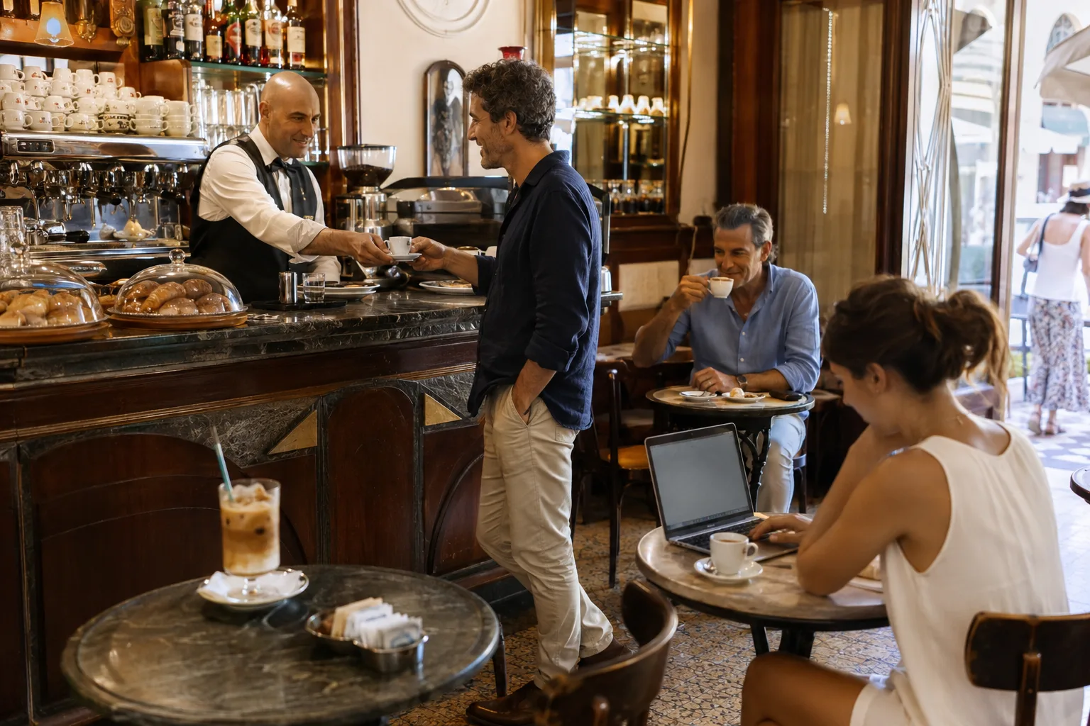
The coasts have never formed a single front. Cagliari, looking onto its gulf and linked to the Campidano plain, has had an urban and port function very different from that of Alghero, marked by Catalan history and a linguistic continuity of its own. Olbia and the north-east have looked particularly closely towards Corsica and the peninsula. Porto Torres has retained an important place in the system of northern connections. Carloforte, with its Tabarchino history, shows how migration can leave lasting traces even on a small island within the island.
The sea, then, does more than divide. It brings goods, people, languages, foodways, techniques and ideas. Sardinia has absorbed outside influences without dissolving into them. Each passage has left different marks on ports, towns, farming systems and local speech.
Yet coastal openness has always had a counterpart: the experience of people who lived for generations far from major landing places. For many inland communities, the Mediterranean was present in incoming goods, political decisions taken elsewhere and migration, but less so in daily life. The sea could be close and still remain hard to reach.
A fractured interior
To understand Sardinia, it helps to begin inland rather than on the beach. The island does not have a single orderly mountain chain clearly dividing one side from the other. It has granite massifs, limestone ridges, basalt plateaux, plains, valleys, mountain areas and tablelands. Gennargentu, Supramonte, Barbagia, Ogliastra, Logudoro, Gallura, Sulcis-Iglesiente and Campidano belong to the same region, but have experienced very different physical and historical conditions.
Treccani describes Sardinian relief as “divided into many massifs”, separated by plains, depressed areas and valleys. That same physical framework shaped communications for a long time: some links were easier along particular routes, while others involved slow, winding and costly journeys.[3]
The mountains never cut communities off completely. There were paths, drove roads, fairs, markets, pastoral routes and family networks. Seasonal movement of herds brought different areas into contact, while trade linked towns that seemed far apart. Still, the cost of movement mattered. Taking goods to market, reaching a doctor, attending school, getting to a port or travelling to a city demanded more time and resources than in the plains or in better-connected coastal centres.
In Sardinia, the sea separated people from the outside world, but the mountains often separated them from those living just beyond the next ridge. No universal rule here. Just a useful reminder that real distance is not measured in kilometres alone. A place may be near on a map and far away in practical life.
Which is also why many Sardinian place names indicate more than an administrative area. Barbagia, Ogliastra, Gallura and Sulcis evoke particular settings, forms of production, ways of living and different relationships with the coast, pastoralism, agriculture, mining and towns.
Coasts to defend
Today Sardinia is often imagined through the sea: tourist villages, beaches, holiday homes and marinas. That image is recent and covers only one part of the island’s story. For centuries, many coastal areas were exposed places, sometimes unhealthy, and in some stretches marked by lagoons and marshland. Raids from the sea, malaria and the difficulty of guarding long shorelines made certain areas less desirable than they appear today.
Treccani notes that the shape of the coast, sometimes steep and sometimes low-lying and surrounded by ponds and marshes, directly affected settlement and communication.[3] It does not follow that the coast was empty or that Sardinians lived away from the sea by cultural choice. Cagliari, Alghero, Bosa, Oristano, Olbia, Porto Torres and many other centres show the opposite. Fishing, trade, port activity and ties with nearby islands and shores formed an essential part of Sardinian life.
The difference lay in local conditions. Some coasts offered harbours, fertile land, access to routes and opportunities for exchange. Others were more vulnerable or less suitable for stable settlement. In many cases, towns developed some distance from the shoreline, in positions that were easier to defend or healthier to inhabit. Relations with the sea varied from area to area and cannot be reduced to a single model.
Which brings us to a contemporary paradox. The coast can concentrate investment, tourism and property value, while the interior retains communities, heritage and places less visible to the wider public. Neither Sardinia is more authentic than the other. Both are the product of centuries of adaptation to different circumstances.
It comes down to balance. How can coastal growth create opportunities for inland areas as well? And how can inland towns retain services, work and residents without becoming places visited for only a few hours?
Stones and power
Nuragic civilisation is often used as a shortcut for describing an ancient and mysterious Sardinia. It is an easy image, but it reduces a complex history to an identity ornament. Nuraghi speak first of social organisation, building techniques, control of territory and a long human presence on the island.
Su Nuraxi of Barumini, listed by UNESCO as a World Heritage Site, is the best-known example. The site preserves a complex built in the Bronze Age and used over a very long period, into Roman times. UNESCO calls it the most celebrated example of nuraghi, the stone defensive structures characteristic of prehistoric Sardinia.[4]
What matters here is the historical depth. Sardinia had its own old history long before it became, in some narratives, a late appendage of the Italian peninsula. The island had complex societies before Rome arrived. It had centres of power, settlement systems, exchanges and forms of organisation that cannot be turned into a legend about the unchanging origins of modern Sardinians.
After the Roman and Byzantine periods, the island also saw the formation of the giudicati. The four principal territorial orders were Cagliari, Torres or Logudoro, Arborea and Gallura. Treccani describes them as autonomous structures that emerged in the four partes into which medieval Sardinia was divided, governed by judges who exercised royal powers.[5]
The giudicati show that the island’s unity never meant political uniformity. Sardinia had institutions of its own and differentiated relationships with the maritime cities, the papacy and the Crown of Aragon. Arborea resisted Aragonese expansion for longer; Torres looked towards the north-west; Cagliari and Gallura followed different territorial networks. Geographic fragmentation thus found political and administrative forms as well.
Languages and boundaries
Sardinia has a strong regional identity, but it does not speak with one voice. Sardinian includes differing local varieties and traditions, commonly grouped around Campidanese, Logudorese and Nuorese areas. Alongside them are Gallurese, Sassarese, Algherese Catalan and Tabarchino, spoken in Carloforte and Calasetta.
It is no folkloric detail. Languages and local varieties tell of population movements, commercial ties, political boundaries, outside influences and internal distances. Algherese Catalan preserves the memory of Aragonese and Catalan settlement. Tabarchino refers to the history of Ligurian communities that passed through the Tunisian island of Tabarka before settling in south-western Sardinia. Gallurese and Sassarese point to different historical links with Corsica and the northern linguistic sphere.
The Sardinian regional government recognises this plurality in its teaching and language-protection programmes, which include Sardinian, Algherese Catalan, Sassarese, Gallurese and Tabarchino.[6] There is no need to turn every difference into a rigid border. People move, speech changes, Italian is the shared language of public life, and younger generations live in circumstances very different from those of their grandparents.
One fact remains: Sardinian identity has developed through continual negotiation between local belonging and a shared awareness. A person can belong to a town, a sub-region, a coastal city, a pastoral area or a particular linguistic community and, at the same time, feel Sardinian.
Such layering keeps two simplifications at bay. One reduces the island to a collection of local loyalties. The other tells it as a uniform block. Sardinia is recognisable as a region precisely because it contains such marked differences.
Different economies
Pastoralism has an important place in Sardinian history and imagery, especially in inland areas. It would nevertheless be wrong to treat it as a complete explanation of the island’s economy. Sardinia has known farming on the plains, cereal cultivation, viticulture, fishing, craft production, maritime trade, livestock husbandry, mining and industrial activity.
Campidano, for instance, encouraged closer ties between the plain, agriculture and the southern cities. Sulcis-Iglesiente still bears the marks of mining, which left productive structures, workers’ towns, infrastructure and environmental scars. The Historical and Environmental Geomining Park of Sardinia shows how deeply extractive history has shaped the island and its relationship with the Mediterranean.[7]
Gallura developed particular relations with the north and Corsica, while Ogliastra had to reckon with the simultaneous proximity of mountains and coast. In Barbagia and other inland areas, livestock husbandry and small towns produced social forms different from those of the plains or the ports. No geography automatically decides a territory’s economic destiny. Physical resources matter, but so do infrastructure, public policy, markets and collective choices.
Tourism has changed many balances. It brings jobs, international visibility, new businesses, the restoration of buildings and demand for local products. It can also foster seasonal work, higher housing prices and a sharp concentration of investment in coastal zones. The interior then risks becoming a day trip: somewhere to photograph, sample and leave before evening.
What Sardinia needs now is a less hierarchical relationship between coast and interior. The sea should not turn some areas into shop windows and others into backdrops. Stronger links between local production, services, transport, culture and work can give territories real chances to remain inhabited.
Distances today
Ferries, airports, cars, mobile networks and the internet have reduced many distances. They have not removed them. Today, remoteness also depends on the price of a ticket, the frequency of connections, road quality, access to healthcare, the presence of schools, digital coverage and the ability to find work without having to leave.
The Sardinian regional government continues to treat links between inland areas, transport nodes and the main gateways as a central matter of territorial planning.[8] Mobility is only part of it. It affects the right to stay, study, receive care, start a business or grow old in one’s own town without being excluded from essential services.
Depopulation in the interior is not an ancient fate returning to impose itself. It results from contemporary dynamics: low birth rates, young people leaving, an ageing population, scarce stable work, more distant services and the cost of travel. On 31 December 2024, Sardinia had 1,562,381 residents, 8,072 fewer than in 2023, according to the Istat census.[9]
The regional government has introduced measures for small municipalities and against depopulation. In 2026 it identified 278 municipalities with fewer than 3,000 inhabitants and extended the range of interventions to include many municipalities with up to 5,000 residents.[10] Grants can help, but they do not solve the problem on their own. A cheaper home counts for little without services, a school, a doctor, reliable transport and opportunities to earn a living.
Sardinia can appear fully connected at some times of year and very distant at others. It can welcome international flights and still have towns where reaching a specialist service takes hours. It can be close to the Mediterranean and far from its own regional capital. An everyday contradiction like this, more than any stereotype, explains the idea of an island within an island.
An inner archipelago
Sardinia is not a single uniform island. It is an inner archipelago of coasts, plains, mountains, cities, towns, languages, economic activities and memories. The sea gives it a common position in the Mediterranean; internal distances have produced very different local experiences.
To describe it only through coastal tourism leaves out whole parts of its history. To describe it only through mountain villages, shepherds and nuraghi produces another simplification. Cagliari is no less Sardinian than a small centre in Barbagia. Alghero is not an alien parenthesis because Catalan is also spoken there. Sulcis-Iglesiente cannot be reduced to a coast or an old mining basin. Ogliastra is not only mountain country, just as Gallura does not coincide with luxury tourism.
Sardinian identity does not come from pure isolation or an unchanging character. It has grown out of a long practice of adapting to seas, reliefs, invasions, migrations, markets and local differences. That is why it can be strong without being monolithic.
Sardinia seems like an island within an island because it contains many different worlds. Some look towards the sea every day. Others reach it by crossing bends, valleys and hours of road. All of them, though, belong to the same Mediterranean geography.
Bibliography
Discussion
Join discussion!
There are already 0 comments on this article in the forum.