


Active filters: #italian-geography
Reset
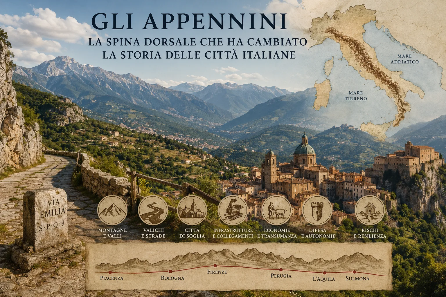
Aerial view of an Apennine valley with a winding road, a small town, fields and mountain ridges
Credits: Image generated with AI technology

The Apennines: The Spine That Changed the History of Italian Cities

The Apennines have shaped Italy’s cities, roads, economies and local identities for centuries. More than a mountain chain, they are a system of valleys, basins and passes that has governed where people could settle, trade, defend themselves and travel. From Bologna and Florence to L’Aquila and Perug...
Read more
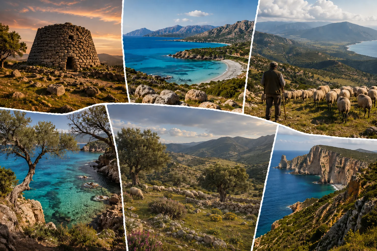
Sardinian landscape with a coastal road, mountain ridges and an inland town, illustrating the distance between sea and inner valleys
Credits: Image generated with AI technology

Sardinia: Why It Feels Like an Island Within an Island

Sardinia has been linked to the Mediterranean for millennia, yet mountains, plateaux and valleys have made its interior a collection of distinct territories. Its identity grows from the meeting of outward connections and local distance: port cities, mountain towns, languages, economies and memories ...
Read more
Physical map of Italy showing the Alps, the Po Valley, the Apennines, the coasts, Sicily and Sardinia.
Credits: Image generated with AI technology

Why Italy Is So Long and Narrow: How Geography Divided and United the Country

How can a country only a little over a thousand kilometres long contain so many different Italies? The answer begins with the physical map. The Alps, the Po Valley, the Apennines, the seas and the islands made some connections easy and others difficult. Geography did not create Italian history or re...
Read more

Search in Blog